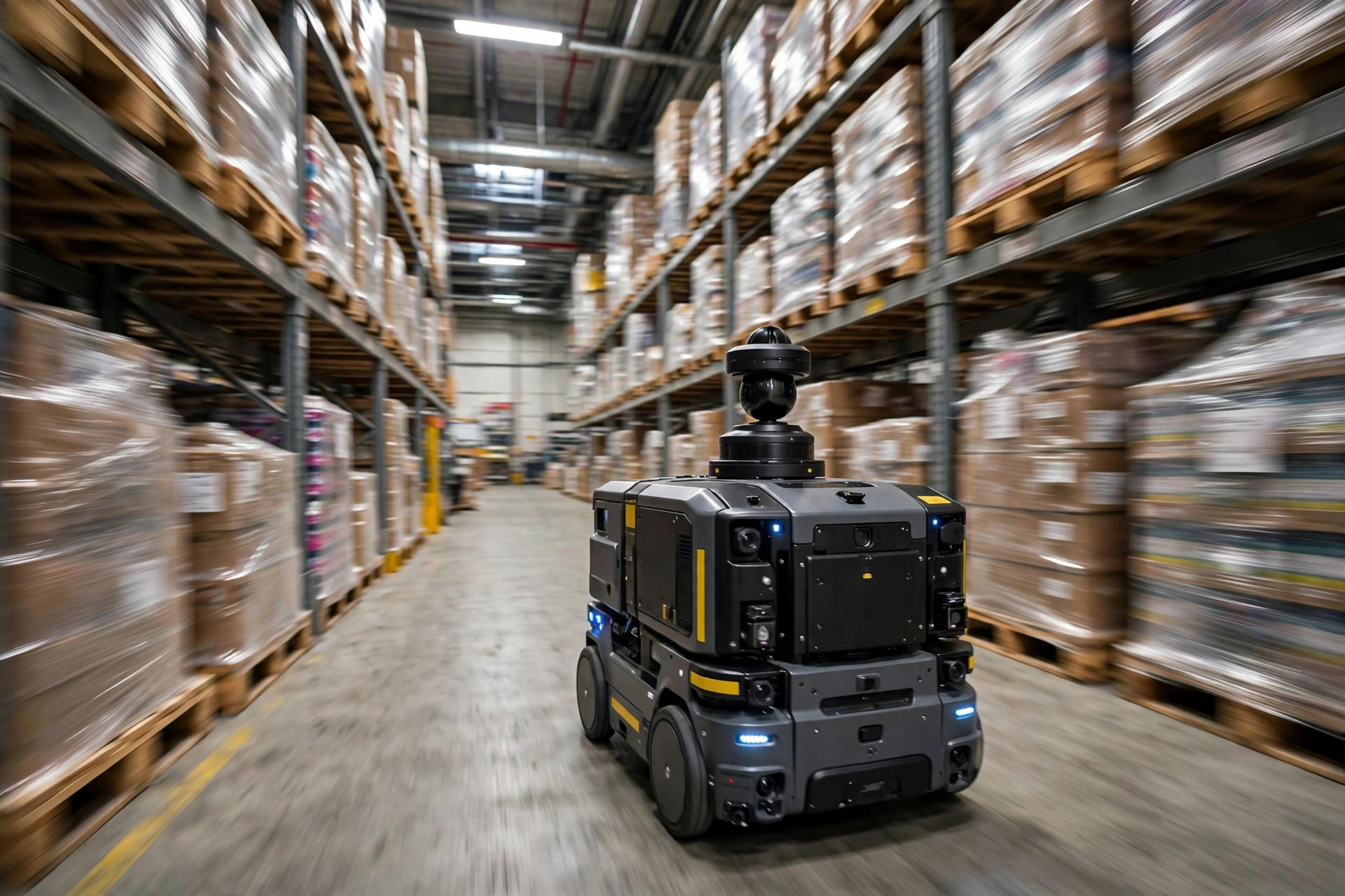
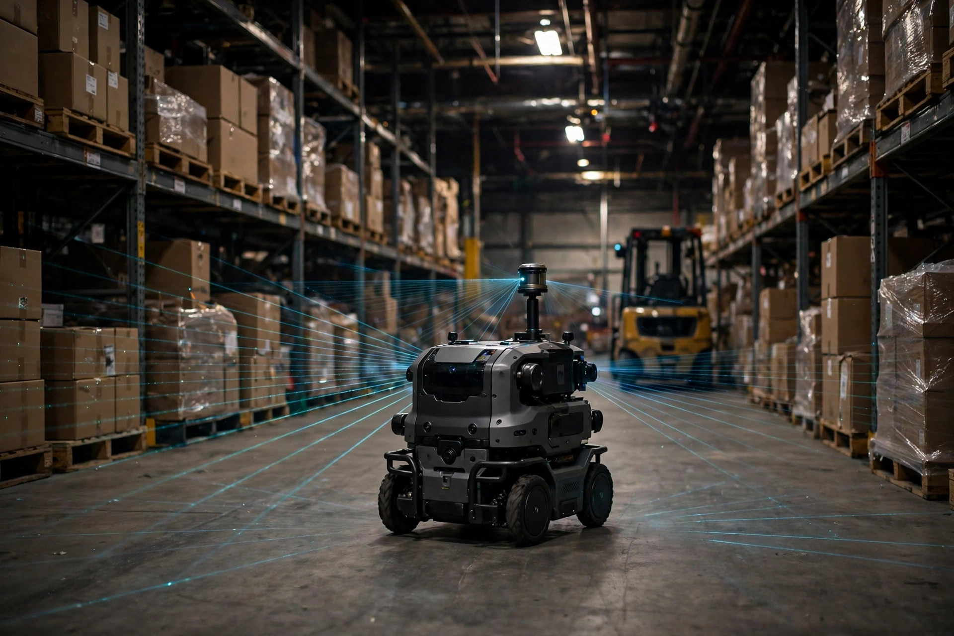
How do warehouse AMRs navigate? Let me give you the verdict first: they don't "see" the way you think they do. A spinning LiDAR on the robot's head fires lasers continuously, sketching the outlines of walls, racks, and pillars — building a map and locating itself on that map at the same time. That's SLAM: Simultaneous Localization and Mapping. Once you get that, the so-called "intelligent navigation" of an AMR stops looking like magic.
I've seen too many warehouse owners get sold a fantasy: the robot has "eyes," it has "GPS," it can go anywhere it wants. Here's the plain truth about how warehouse AMRs navigate in practice — an AMR does three things. First, its LiDAR scans the surroundings (check the vendor's latest spec sheet for the exact numbers). Second, it stitches those scans into a floor map — not a photograph, but a line drawing of "wall here, column there, rack over there." Third, as it drives, it constantly matches live scans against the map to confirm where it is. Miss any one of the three, and the whole thing falls apart.
SLAM in Plain English: Mapping While Finding Yourself
There are two sides to this: mapping and localization. On its first day in your warehouse, an AMR is effectively blind. Someone walks it — or drives it slowly — around the entire floor while the LiDAR measures the distance to every surface, assembling a contour map of the facility.
A map alone isn't enough. Wheels slip, floors are uneven, and the robot's internal sense of position drifts a little every few meters. So it keeps comparing live scans against the stored map, correcting itself continuously. That drift accumulates — over a full shift it can add up to several meters — which is why the third piece matters: loop closure.
Loop closure is just "this looks familiar." The robot completes a circuit, recognizes the wall and the column it passed an hour ago, and snaps all the accumulated error back into place in one correction. Skip a proper loop during mapping, and the map warps a little more with every run. I watched a client rush the mapping step — the engineer didn't close the full loop to save time — and within two days the robots were drifting so badly they got stuck in the pick zone, unable to recognize where they were. Half a day of downtime across the floor. The lesson: always close the loop when mapping. That half hour is the cheapest insurance you'll ever buy.
The Time a Warehouse Move Gave the Robots "Amnesia"
In 2019 I was on a project at a 3PL in Ontario, California — roughly 60,000 square feet, 12 AMRs doing goods-to-person. Before peak season they relocated 40 rack bays in Zone C and added a level to the racking. Nobody told the AMR team. On day one of peak, eight robots developed collective "amnesia": the rack outlines the LiDAR saw no longer matched the map, so the robots concluded they were lost. They spun in place, threw alarms, and the whole floor went red. The morning outbound plan collapsed, and they threw six temp pickers at the problem just to survive the day.
Here's the thing: a SLAM map is dead, but a warehouse is alive. Moved racks, taller pallets, a row of floor-stacked cartons for peak season — any of it can make the LiDAR a stranger in its own home. The fix is twofold. First, rebuild the map after any major layout change; a skilled engineer can re-scan 60,000 square feet overnight. Second — and this is the question vendors hope you won't ask — does your SLAM support automatic map updates? Good systems gradually absorb small everyday changes, like an extra pallet, into the map without a full rescan. Ask about it during selection. It's the most overlooked line item in every AMR deal I've seen.
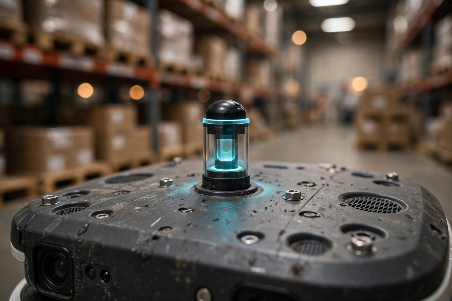
And then there's the forklift story. LiDAR sits at about waist height on the robot. At a site in Texas, a forklift parked right in front of an AMR to unload — forks and mast blocked the LiDAR's entire field of view. The robot went "blind" and slammed on the brakes. Even funnier: the AMR behind it saw a stopped robot and stopped too, like dominoes, blocking half the aisle. The fix was embarrassingly low-tech: physically separate forklift work zones from AMR main lanes, or mark those areas as slow zones in the system. The smartest navigation in the world can't compensate for sloppy floor management.
How Warehouse AMRs Navigate: Counting the Cost of Three Approaches
Navigation isn't a one-horse race. There are two sides to every option, so here's the honest comparison:
| Natural navigation (SLAM) | Reflector / landmark navigation | QR-code grid navigation | |
|---|---|---|---|
| How it navigates | LiDAR reads environmental contours | Reads reflective markers on walls | Reads QR codes on the floor |
| Upfront cost | High (LiDAR is the big ticket) | Medium (hundreds of reflectors to install) | Low (QR stickers are cheap) |
| Flexibility | High — layout change just needs a remap | Low — move a rack, re-stick markers | Low — routes are essentially fixed |
| Day-to-day upkeep | Map updates, managing environmental change | A blocked or torn reflector blinds it | Worn codes, or a pallet covering them, blinds it |
| Best for | Warehouses with changing layouts and messy SKUs | Old facilities whose layout hasn't changed in a decade | Simple, fixed-route transport |
Too many people walk in asking "which is most accurate?" — wrong question. The right question is: will your layout change in the next three years? If yes, SLAM. If your racks haven't moved since 2012, reflectors are cheaper and perfectly fine. Technology selection is always a business question, not a technology question.
The Counterintuitive Bit: The Finer the Map, the Faster the Robot Dies
One last contrarian take: with SLAM, more expensive doesn't mean more accurate, and a finer map isn't better. Some vendors brag about "millimeter-level mapping." Sounds impressive. It's a trap. The more detailed the map, the more sensitive it is to change. Move a pallet today, add a floor stack tomorrow, and the hyper-detailed map no longer matches — the robot throws alarms all day. A warehouse is alive; a map that's too fussy is just arguing with reality.
A solid SLAM system does the opposite — it grabs the big picture: walls, columns, rack frames. It ignores the small stuff: pallets, floor stacks. Centimeter-level positioning is plenty (check the vendor's latest spec sheet for exact figures). Reliable and rugged beats precise but fragile, every single time. My advice: when evaluating how warehouse AMRs navigate, don't ask "how accurate is it?" Ask "what happens when the environment changes?"
By Lao Mi, Supply Chain Veteran (20 yrs)