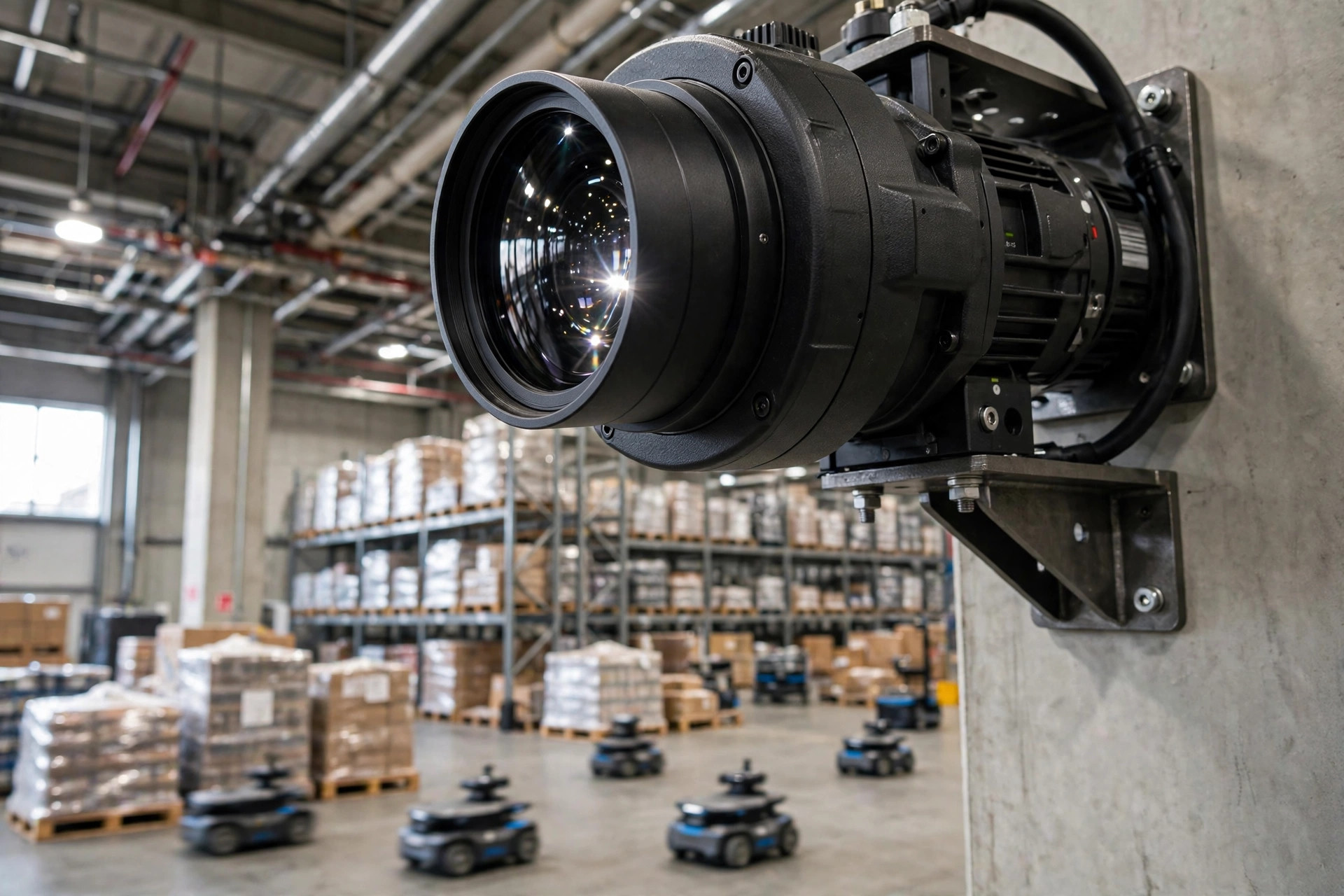
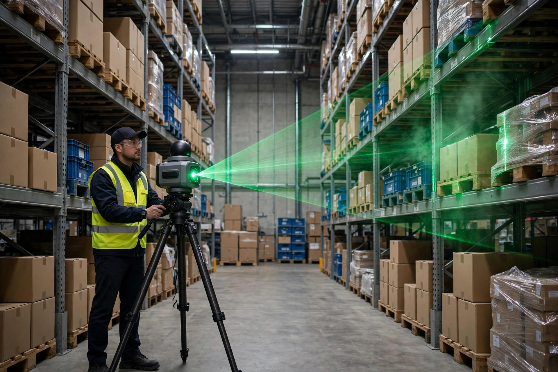
When a LiDAR scanner was first wheeled into a warehouse and aimed at high-bay racking, the cycle-count supervisor watching asked the only question that mattered: "Can it tell me how many cases are sitting in each slot?" That question captures the entire debate around 3D point-cloud inventory counting today. LiDAR measures with impressive precision — but the dimension it measures precisely is not the dimension that inventory counting actually needs.
1. The phenomenon: why LiDAR set its sights on cycle counting
Counting inventory is the most thankless job in a warehouse. Traditional manual counts rely on two-person teams — one calls out, one records — and high-bay slots require a lift truck. A 120,000-square-foot distribution center with roughly 12,000 pallet positions can lose half a working day of inbound and outbound activity to a single full count, and book-to-physical variance still routinely lands between 1% and 3%. Behind that number is real money: variance means delayed replenishment, stockouts, or safety stock carried "just in case."
LiDAR's arrival was close to inevitable. Over the past decade it moved from surveying and autonomous driving into mass production, with costs falling steadily. Meanwhile, warehouse AMRs already used LiDAR for navigation — and once a robot drives the aisles daily with a sensor firing hundreds of thousands of ranging points per second, saving those point clouds for counting becomes a near-zero-marginal-cost idea. Starting around 2022, pilots appeared across Europe and North America, quickly splitting into four distinct routes.
2. Four technical routes for LiDAR point-cloud inventory counting
Industry deployments fall into roughly four categories:
| Route | Form factor | Vendor-claimed accuracy | Scan throughput | Equipment cost magnitude | Best fit |
|---|---|---|---|---|---|
| Fixed terrestrial scanning | Tripod-mounted 3D laser scanner | Millimeter-level (approx. 2–6 mm) | Minutes per station; whole site needs multi-station stitching | Tens of thousands of USD | New-site modeling, slot surveying |
| Handheld mobile scanning | Handheld SLAM scanner | Centimeter-level (approx. 1–2 cm) | Walking pace, one operator | Low tens of thousands of USD | Periodic counts, exception re-checks |
| Backpack / cart-mounted | Backpack or push-cart rig | Centimeter-level | 30–50% faster than handheld | Low tens of thousands of USD | Rapid large-area mapping |
| Drone-mounted | Indoor drone carrying LiDAR | 2–5 cm (affected by flight vibration) | Automated patrol, no operator following | Tens of thousands of USD incl. drone and software | High-bay racking, hazardous zones |
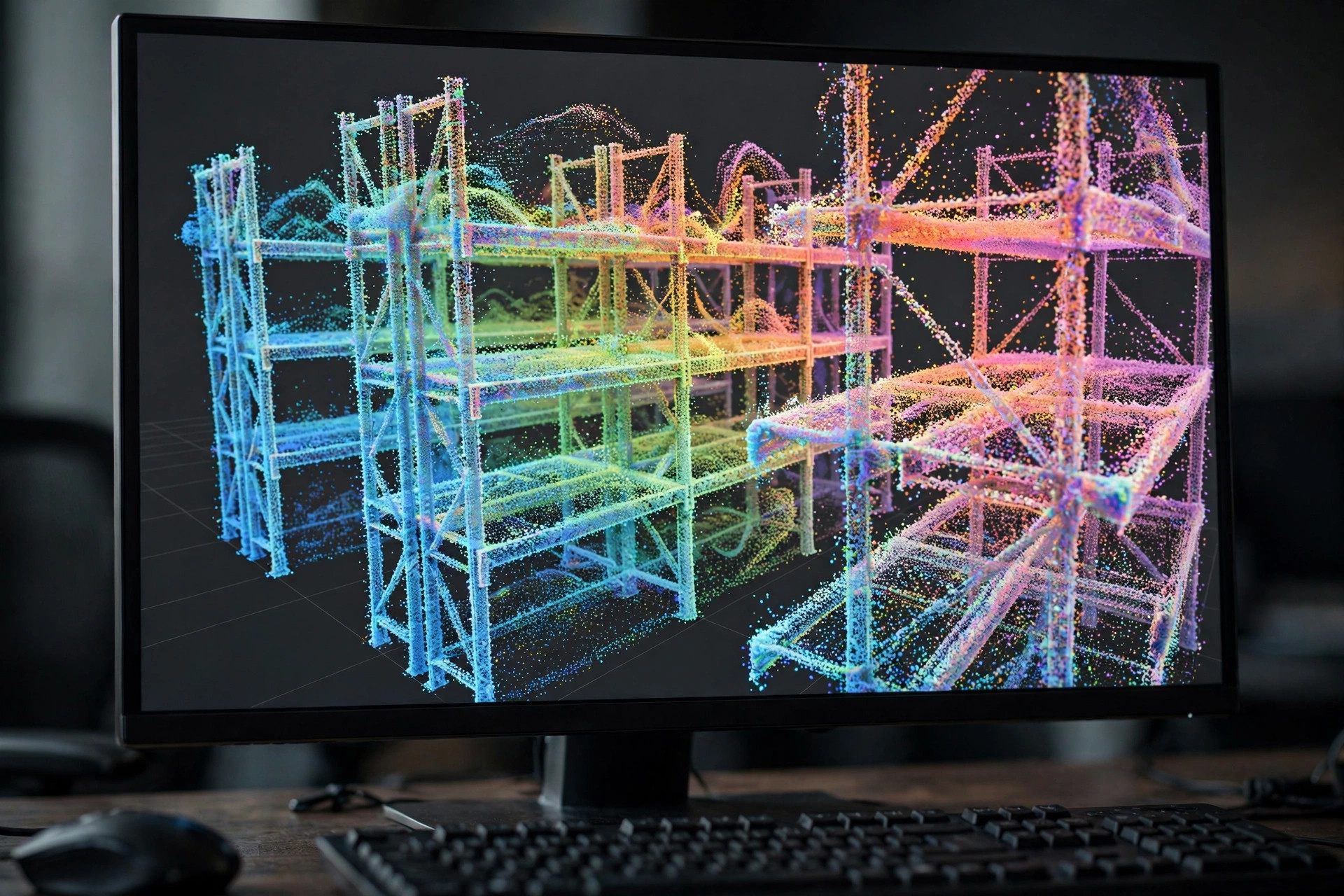
One caveat: the accuracy figures above are vendor specifications under ideal conditions. Real warehouses discount them. Metal uprights create multi-path reflections, stretch wrap produces mirror-like "ghost" points, and the grazing angle at high-bay tops thins out point density. Problems that never appear in a lab show up on every warehouse floor.
3. Accuracy in practice: centimeter-level, still far from SKU-level
Per vendor-published pilot data, handheld LiDAR doing slot-level counting in warehouses holds geometric accuracy in the 1–3 cm band. Impressive — but it answers "how far is this carton from the rack upright," not "how many SKUs are in this slot and how many units of each." Counting needs the second answer.
In 2024, an automotive parts DC in Germany ran a publicized pilot: a handheld 3D scanner covered roughly 8,000 pallet positions for a monthly count, scanning plus processing totaling about 6 hours — work that had previously taken three people two full days. The system classified "empty" versus "occupied" slots at over 98% — but its judgment of "how many layers remain on a half pallet" fell to around 85%, because irregular stacking means the point cloud only sees the outer envelope. Volume, yes; layer counts need algorithmic guesswork.
A second case: a Midwest 3PL piloted drone-mounted LiDAR near Chicago in late 2023 — not to count goods, but for nightly "exception patrols." The drone flew automatically, differenced the new point cloud against the previous day's, and flagged changed slots for human re-check. Manual counting workload dropped roughly 40% over three months. The team's own summary was candid: LiDAR answered "what changed," not "changed to how much."
Both cases point to the same conclusion. LiDAR's accuracy lives at the geometric layer; counting's core demand — quantity times SKU — lives at the semantic layer. Between them sits a recognition step LiDAR cannot cross alone.
4. Head-to-head: manual, RFID, drone vision, and point-cloud counting
Put the four mainstream counting methods in one table and the trade-offs come into focus:
| Dimension | Manual counting | RFID counting | Drone vision counting | LiDAR point-cloud counting |
|---|---|---|---|---|
| Count granularity | SKU-level, reads labels | SKU-level, needs tagged items | SKU-level, reads barcodes/appearance | Slot-level, reads geometry |
| Accuracy | People-dependent, 1–3% variance | 99%+ when tags are intact | 95%+ in good lighting | 1–3 cm geometry; semantics need algorithms |
| Speed | Slowest; high bays need lifts | Fastest, bulk reads | Medium; must hover per slot | Fast; one scan covers the scene |
| Cost structure | Labor-dominated | Tags + readers, heavy upfront | Drone + software subscription | Hardware + point-cloud software |
| Biggest weakness | Slow, tiring, error-prone | Tagging cost doesn't scale | Hates darkness, glare, occlusion | No SKU identity |
The telling row is "count granularity." RFID and vision answer "what is this and how many." LiDAR answers "is something here and what shape is it." Not more or less accuracy — a different problem definition altogether.
5. The cost ledger: where the money actually goes
Pricing a LiDAR counting program on the hardware sticker alone misses most of the bill. Four parts:
First, hardware. Terrestrial 3D scanners sit in the tens-of-thousands-of-dollars range; handheld units in the low tens of thousands; sensor-grade LiDAR starts at a few thousand dollars apiece (check vendors' latest published pricing). Drone programs add indoor positioning kits and the airframe, typically tens of thousands for the full package.
Second, software. Point-cloud registration, de-noising, slot segmentation, and change differencing mean either a vendor subscription or an in-house algorithms team — an annual fee or ongoing headcount. Neither is cheap.
Third, labor. LiDAR does not eliminate people; it moves them from "counting" to "operating equipment and reviewing exceptions." Handheld programs still need someone walking the floor; drone programs trade the walking for a pilot or maintenance role.
Fourth, hidden costs. A full-site scan easily produces tens of gigabytes, so storage and compute recur. Scan quality is best when racking areas are still, so high-throughput warehouses must carve out quiet windows. That is a cost too.
A rough total: a mid-size DC should expect first-year investment in the high tens to low hundreds of thousands of dollars. The payback logic has one line: displaced manual counting hours, times local labor cost, must cover the investment within 2–3 years. In high-wage North America and Europe the math works; where labor is cheap it falls apart — which is why nearly all current pilots are in those two regions.
6. A counterintuitive verdict: the most precise technology may not be the best for counting
In inventory counting, LiDAR's biggest enemy is not manual labor and not RFID. It is the pursuit of precision itself.
Fixed terrestrial scanning reaches millimeter-level — the most accurate of the four routes — and the least suited to routine counting. One full site can consume half a day of scanning plus hours of stitching. Counting wants frequency, low cost, and repeatability; millimeter precision is overkill. The drone route, at a mere 2–5 cm, created genuine value in "exception detection" precisely because it could fly every night automatically.
That is the core trade-off: geometric precision and business value are not monotonically related. Past "can tell empty from occupied, can detect change," every extra millimeter raises marginal cost while marginal value declines. Vendors sell precision; warehouses wanted faster, cheaper book-to-physical reconciliation.
7. Where this is headed: fusion, not replacement
LiDAR will not replace people, RFID, or vision systems. It is becoming the geometric foundation — point clouds building a 3D skeleton of the site and a baseline of slot states, with vision filling in SKU semantics and humans reviewing genuine exceptions.
Judging by current vendor roadmaps, the mainstream form factor is "LiDAR plus vision" fusion: drones or AMRs carrying both, LiDAR handling localization and mapping, cameras reading codes and appearance, both aligned in one coordinate frame. Precision is spent where it belongs — on space — while the cheaper vision stack handles semantics.
One open question: if every AMR carries LiDAR and every aisle pass becomes a passive scan, does "counting" survive as a standalone activity? When inventory state becomes a continuous stream instead of a monthly event, ABC frequencies and even the definition of variance rate may need rewriting. LiDAR today answers "how accurately can we scan." It may change the meaning of "counting" itself.
By Dr. Chen, Supply Chain Researcher