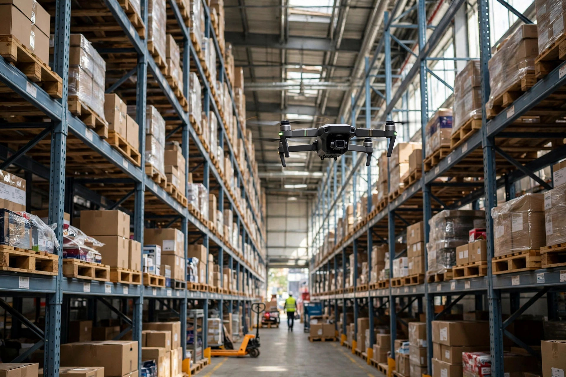
Warehouse drone inventory counting accuracy is easy to overstate and easy to dismiss, and both mistakes come from the same place: treating the drone as the thing being measured. A small quadcopter lifts off at the end of an aisle, photographs location labels and pallets, and lands with a list of discrepancies against the warehouse management system. What decides whether the count can be trusted is what the drone finds when it gets there — whether the label is readable, whether the pallet sits inside its location, and whether the light lets a camera do its job.
How Warehouse Drone Inventory Counting Accuracy Actually Works
A drone count runs in four stages. First, positioning: indoors there is no satellite signal, so the aircraft fixes its place with visual sensors and rangefinders, following a planned route up and across each bay. Second, capture: an onboard camera photographs location labels and pallet faces, reading barcodes or other identifiers. Third, matching: the reads are reconciled against WMS records and flagged as matched, missing, surplus, or misplaced. Fourth, exception handling: people go to the flagged locations and settle them by hand.
The gap between capture and matching is where most accuracy is won or lost. A photograph is not a read, and a read is not a correct location. A label pasted at an angle, a pallet overhanging its bay line, or two neighbouring labels sitting too close together can each produce a mismatch that no flying skill will fix. The drone answers one question well — can we reach the high locations and see the labels? — and leaves the rest to the warehouse: label quality, location discipline, and housekeeping. A flight tends to expose those things rather than compensate for them. The buying question is not how good the camera is in isolation. It is whether the warehouse can present its stock in a form a camera can read, at height, under the lighting the building actually has.
Where Warehouse Drone Inventory Counting Accuracy Holds — and Where It Breaks
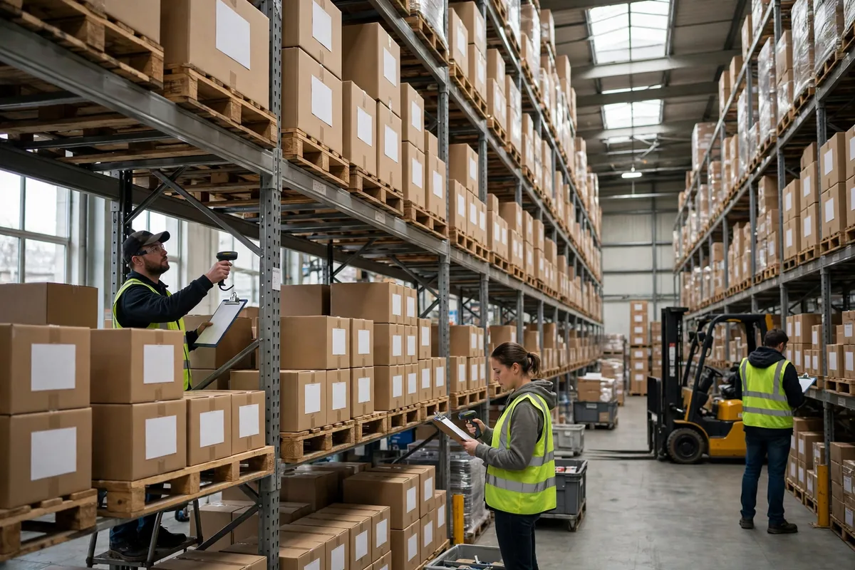
The clearest advantage sits in high-bay racking. Counting upper levels by hand means working at height or bringing pallets down with a forklift, both slow and both carrying safety overhead. A drone reads from the bottom level to the top in one pass, removing the climbing and the equipment scheduling from the job. The taller the racking and the more aisles there are, the larger that advantage becomes.
The failure modes are steadier than the marketing suggests, and they do not disappear with a newer aircraft. Reflective labels, shrink wrap, and metallic packaging can glare at certain angles. Overhanging cartons and crowded pallets hide labels altogether. Dim aisles and backlit top levels starve the camera of light. And position drift over a long flight can shift a read by one location. Together they make the drone a tool for finding differences, not a replacement for final reconciliation.
In the autumn of 2024, a third-party logistics operator in Ohio piloted 10 aisles of high-bay racking, each six levels high, after a manual count had set a baseline. Most locations matched on the first pass. The exceptions clustered in two places: top levels where stacked cartons partly covered the label below, and locations near the aisle entrance where afternoon sun struck the labels at a low angle. The result had largely been decided before take-off.
A second case, from a pharmaceutical distributor in the Netherlands in the spring of 2025, shows how operators adjust. Half the site was ambient storage, half was a cooler, dimmer area with mostly film-coated labels. The first full-site flight produced a short exception list in the ambient area and a long one in the cooler, and the manual rechecks there consumed nearly all the time the flight had saved. The operator changed the scope rather than the equipment: drones now fly the high bays in the ambient area only, the cooler is still counted by hand, and film-coated labels are being replaced with matte stock.
There is a counterintuitive pattern worth stating plainly: drones are often most reliable at the very top of the racking and least reliable at ground level. Up high the view is clean and the obstructions are few. At floor level the aircraft contends with forklifts, pallet jacks, staged goods, and people moving through the aisle. Many first pilots look only at the high levels, conclude the system works, and expand the scope — then discover the exception rate climbing as the flight comes down to the floor. Speed creates a second trade-off: flying faster shortens the time per aisle, but it also shortens the time the camera spends in front of each location. Route planning is a choice about where a warehouse wants to sit between speed and accuracy, not a pursuit of speed alone.
| Dimension | Manual counting | Drone counting | Fixed scanning |
|---|---|---|---|
| High-bay locations | Slow; needs height work | Fast; one pass along the aisle | Cannot reach high levels |
| Ground level | Steady; staff can confirm by hand | Prone to interference; more exceptions | Steady at fixed points |
| Speed | Depends on headcount | Fast per aisle; rechecks add time | Near-instant at passage |
| Accuracy depends on | Care and experience | Labels, light, and positioning | Placement and label discipline |
| Upfront investment | Low; mainly labour | Medium; routes, labels, integration | High; installation |
| Best use | Full and sample counts | High-bay samples; finding differences | Dock doors |
The arithmetic is worth doing before any purchase. Take a site with 40 aisles of high-bay racking. Counting one aisle by hand can absorb a two-person team for much of a day; a drone can fly it in minutes. In isolation, the gap is large. But if each flight leaves dozens of flagged locations to be rechecked by hand, the recheck time pulls the total back up. The deciding number is the exception rate, not the flight time: the lower it is, the better the drone's economics; if it stays high, the time saved in the air is spent again on the ground. The return on investment turns less on the price of the aircraft than on two pieces of preparation — fixing labels and enforcing location discipline — that have to happen before the first flight.
Which Warehouses Should Fly, and Which Should Wait
The warehouses best placed to start share a pattern: racking of five levels or more, a reasonably stable assortment without constant re-slotting, disciplined labels and neatly placed pallets, and high-bay counting that is already expensive in labour or height work. In those buildings the drone's strengths land directly on the costly part of the job.
The warehouses that should wait are also recognisable: heavy floor stacking and frequent ad-hoc location changes, a high rate of damaged or reflective labels, poor lighting that cannot be improved quickly, and aisles in constant use by forklifts and staff. Cold stores deserve their own assessment, since low temperatures and dim light affect both batteries and cameras; a small trial area is the right first step, not a site-wide rollout. In these cases the problem is not the drone. The site is not ready, and flying first would produce an exception list whose recheck cost outweighs the benefit.
Before committing, work through a short checklist. Safety first: define flight windows and no-fly zones, clear the aisle during flights, and agree on an emergency landing and power-loss procedure. Regulation next: confirm the rules that apply to indoor flight where the warehouse sits, and check the latest official policy. Data integration: results must write back into the WMS, and exceptions must land on a named location with a named owner, not sit inside the flight software. Labels: sample one aisle, measure the share of reflective, damaged, or crooked labels, and decide whether a bulk replacement is needed before scaling up. Then pilot one or two aisles, compare the result line by line against a manual count, and measure the exception rate and recheck time before expanding. Finally, assign ownership: who flies, who rechecks, and who resolves differences.
Drone counting is best understood as an amplifier. Where warehouse discipline is strong, it amplifies the efficiency of high-bay counting. Where that discipline is weak, it amplifies the visibility of label and location problems. Whether a warehouse should fly has less to do with the aircraft's specifications than with three questions: are the labels legible, are the location lines respected, and is there enough light in the aisle? Those answers predict accuracy better than any demonstration flight. Whether drones move, over the next few years, from finding differences to serving as the final count will depend on label materials, indoor positioning, and recognition software advancing together. If any one of those three lags, the conclusion has to wait.
By Dr. Chen, Supply Chain Researcher